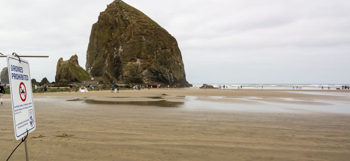

Where can I fly a drone?
Well, good question. There are not many places anymore, at least only a few interesting ones. Once you leave your backyard you better be careful.
Read on and get an insight into the current situation and the planned (and active) measures to track every drone, anytime, anywhere. And see also the policies (website links) of public land, national parks, et cetera.
U.S. Forest Service and also BLM seem to have the more photographer friendly policies by not blanket-banning aerial photography and being open to observe the development; I think it is important to value that position and to not do stuff (reckless flying, disturbing people, etc.) that changes their thinking to the negative. So, check the respective parks and when in doubt double-check with a local field office or ranger.
Getting back our National Parks and more
In times when more and more consumer drones are sold we do see more and more regulations. Whose fault is it that drones become more and more restricted? On one hand it is the issue with people flying drones at places where they shouldn’t do it. Or in a way that annoys other people. But those folks do not represent the majority of drone pilots and cannot be the reason for the blanket drone bans and drone paranoia.
Why did politicians make all National Parks in the United States a no-fly zone? It says because they want to protect wildlife and park visitors… but that makes no sense because if that were the case they could just create specific no-fly areas or rules within the parks. Like speed limits in residential neighborhoods for cars. They could just create a set of park rules for drones and who doesn’t follow them gets a ticket.
Is it possible that tour operators and conventional aerial photography companies (plane, heli) lobby against it? Every government body has concession agreements with such companies and that makes money and brings election support — those companies for sure do not like that others, consumers, professional individuals, are coming into their business territory. Also, it is possible that the government entities are just overwhelmed by the technology development and need some time to craft a permit system that allows them to charge fees for drone use over public land. Such permit system would be a great money machine.
Cities and town, sometimes entire counties, were following quickly and basically most of them have put out some blanket ban for flying a drone — always citing safety and security but by looking into the details everyone quickly figures out that there must be other reasons as well because the cited reasons can’t be justified for all these forbidden areas.
Bottom-line is that you can hardly find all the restrictions that apply to a drone because there’s no central repository and you must research unstructured sources and there’s a good chance you overlook a restriction.
As an analogy, imagine you drive to anther state or cross-thru some states and you first have to look up the state’s driving rules, then on top of that cities have special rules, and may be neighborhoods and counties as well. And it is not just a road sign you need to read but you have to research everything on the Internet first. At this point you would not even get into your car, the fun is gone.
Today, if you look closer you’ll determine that you have a hard time to find a place where you can fly your drone. And automated tracking, reporting, and monitoring of drones is already in the making, … actually already reality. Read on…
There’s another interest group shaping the drone world their way: the commercial drone industry players and their lobbyist association — on their agenda is to get more freedom for commercial operations like flying over people, e.g. relevant to concerts, construction sites, movies or in cities, and so on. Makes sense, because the commercial drone operation business is just taking off and will make billions soon. However, at the same time they support the FAA’s (and other groups and politicians) attempt to come up with more restrictions: like abolishing the Section 336 for recreational pilots (hobbyists), establishing a Remote-ID tracking capability for any drone and controller (in order to track everybody who is flying a drone) and creating a monitoring system (traffic management system) for drones flying in any airspace including G and under 400 ft AGL. They, in no way represent individual professionals or recreational pilots — actually they are on their way to push smaller-scale professionals out of the boat.
Current technology: DJI has developed and demonstrated their DJI AeroScope Real Time Drone Detection system. Search the web for “DJI AeroScope” and also their news release “DJI unveils technology to identify and track airborne drones” (2017-10-12).
DJI Aeroscope is reality and available as handheld-device and also in form of fixed installations which allows constant monitoring of airspace — actually the moment you fire-up your drone it can be tracked. The drone transmits its data (serial#, location, speed, etc.) to the receiver and all AeroScope devices in 20km / ~12 miles radius can pickup the signal and information. Currently there’s no Internet-upload of data happening but that could be achieved easily without adding something to the drone itself: the AeroScope devices which picks up the data can of course upload them into central databases.
Bottom-line: since you can’t really legally fly your drone in any interesting places you either fly only in boring designated areas or if you try to fly anywhere where you do not have a permit, you risk to be tracked. Since the drone transmits besides location info also its serial number it can be easily linked to your FAA registration data and also your DJI account. Other drone manufacturers can and will transmit those drone identification as well, so, nobody has to turn its back on DJI.
What will be achieved: good guys will be risking fines whenever they had overlooked a regulation because drone police will get you! The bad guys will just modify their drones and block the transmission or manipulate the data — like always, tracking technology will trigger a new market:
Next step — full control, fully automated. The future is that the second you launch your little drone it will not only be tracked on-demand but likely automatically reported to an AI system wich determines your eligibility to fly. Who and for what reason will authorities have the right to access your flight data? Fining you! Historical analysis and tracking? Sure. Personal information? Of course. The industry and politicians say it is nothing different than with car license plates — well yes, if you consider traffic cams as the control device that could track where you go or where you have been. But automated GPS tracking and data analysis is much more.
Would you like if your cell phone calls are recorded and monitored in its entirety ? (Ok, we learned that this became reality already…) Or if your car GPS information would be transmitted to an automated system in order to know where you go? That would be the analogy to what is in the making for drones. The United States were in the past not really good with regard to citizen’s data privacy, I guess, just because the people never understood the importance and followed up on what’s going on and, anyway, business interests always prevail — if you need an example then just read the privacy statements of your bank or cell phone carrier regarding your consumer rights to prohibit sharing of information.
I am photographer, videographer, and artist and I am interested in taking aerial photos and video of nature and landscapes and being creative. And that has become very complicated and taking photos and video of beautiful places will become even more difficult and cumbersome than ever: for most places worth a photo you might need a permit which you either won’t get or you have to pay for it and that might become costly — imagine you would need to pay for taking iPhone photos while on vacation in a city or a national park or at the beach? Permits for any public land could may be justified to manage the number of drones and the operators for a certain region — however, it depends on how much will be charged. Other countries have already implemented a permit requirement for National Parks and it seems costly for recreational purposes and even more for commercial purposes — for a film production or wedding it might not matter but for all smaller-scale filmmakers, stock video and photography artists it is expensive.
Anyhow, big commercial drone operators / companies (and for example news media outlets) could secure the entire aerial photo / video market for them — that was never any different in other industries, it’s just from the playbook of how to do business in free markets (…some economist professors told you so…)
Manufacturers of drones should include in their marketing a list of places where you can fly their expensive products!? And fight the political fight to open up restrictions for consumers and give them more places to fly — otherwise drone pictures and videos will become very boring. What is the point of buying a drone when you don’t know where to fly legally?
Politicians sometimes tend to forget that they represent the people and not the businesses and the money. Ok, that’s a naive, unrealistic view but at least it is the ideological idea that counts. The people have a right to take aerial photographs (like regular land-based photos) of e.g. National Parks that were set aside for the people to enjoy them. Or wait,… correct, we still can buy postcards from commercial drone operators (vendors) who take the photos which we are not allowed to take. Or,… if remote ID is a “good thing” then politicians should be able to allow drone owners to fly in more places, e.g. National Parks, because in case of violations they could track the operator.
Politicians nowadays are obsessed about regulating drones — there’s way less energy spent to address other safety concerns like actual hot topics such as school safety or gun control. You can more easily buy a gun, carry it around without registration than flying a little drone,… makes sense, does it? Feels like the outdated law of not being able to legally drink a beer under the age 21 but you can instead feel free to buy a gun at 18 or to join the military and being sent to a foreign land to fight in a war.
Time for change
Blanket bans are wrong — if a government body is concerned about safety and so on, then it could set up some rules (as they did with the FAA set of rules which protect other aircraft and people) and enforce them if people don’t follow them — soon, remote ID will exactly allow that. Like with car traffic: don’t prohibit driving at all because some people do not follow safety rules.
That would work for National Parks where drones could be allowed in general but e.g. not in certain areas like at the South Rim of Grand Canyon where thousands of people are present at any time. That would make sense and if people launch their drones anyway, issue tickets for violating those rules. Done, I think it is that simple.
Anyway, I cancelled my recent order of the latest drone generation and saved a lot of money — any consumer should first check out where they are allowed to fly before buying a drone because soon they will learn how complicated it has become.
Let’s lean back and see what law makers come up with next.
Web Resources: where can I fly my drone?
National Park UAS policies:
https://www.nps.gov/articles/unmanned-aircraft-in-the-national-parks.htm
https://www.nps.gov/search/?affiliate=nps&query=drone
U.S. Forest Service UAS policies:
https://www.fs.fed.us/science-technology/fire/unmanned-aircraft-systems
BLM Drone policies:
https://www.law.cornell.edu/cfr/text/43/6302.20
State Parks UAS policies / other regulations:
California State Parks Drone regulations: https://www.parks.ca.gov/?page_id=29229
Utah State Parks Drone regulations: https://stateparks.utah.gov/?s=drone
Colorado – Boulder County: https://bouldercolorado.gov/osmp/rules-regulations


